National Parks > North York Moors

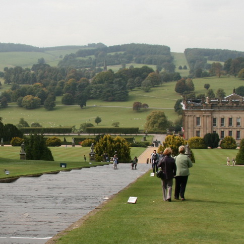
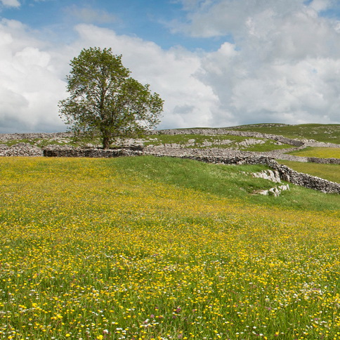
The North York Moors was designated as a National Park in 1952 and comprises 1,436 square kilometers of a rich variety of landscapes, habitats and buildings ranging from the largest tract of unbroken heather moorland in England to spectacular coastline, historic villages and large areas of woodland.
The two statutory purposes of the National Park, as set out in the 1995 Environment Act, are to:
- Conserve and enhance the natural beauty, wildlife and cultural heritage of the Park and,
- Promote opportunities for the understanding and enjoyment of the special qualities of the Park by the public.
As defined by the 1995 Environment Act, the National Park Authority is the sole local planning authority for the North York Moors area and therefore produces policies and plans relating to all types of development including minerals and waste and is the determining authority for all planning applications.
In addition the 1995 Environment Act makes it a duty for all ‘relevant authorities’ working in National Parks to have regard to National Park purposes. This includes public agencies including the County Council, District Councils, Highways Authority and Parish Councils.
The Planning Policy Team prepares and monitors the Local Plan and Development Policies for the whole of the National Park, including minerals and waste. It also produces Supplementary Planning Documents as well as Advice Notes and is involved with the production and monitoring of the Park’s Management Plan.
The Planning Policy Team provides the initial point of contact for all landscape related queries and will liaise with other departments within the Authority if needed.
Documents
In May 2003, a landscape character assessment of the National Park was carried out and can be found at; http://www.northyorkmoors.org.uk/planning/framework/?a=366835
In 2010 the Authority undertook a refresh of the LCA and in particular Section 3 (Change in the Landscape) and Section 4 (Pressures for Change)
In 2007, a landscape character assessment was researched and written to cover the area of the Lime & Ice project. The geographical area was referred to as the Hambleton and Howardian Hills Landscape Partnership Area. http://www.northyorkmoors.org.uk/looking-after/our-projects/lime-and-ice/landscape-character/LCA-Compressed-FINAL-compressed.pdf
The Authority has also produced a suite of Design Guides to describe the distinctive qualities and characteristics that make the North York Moors National Park special – the local distinctiveness of the landscape; settlement patterns and buildings and is intended to encourage a high standard of design in new development. The Design Guide comprises five parts: Part One: General Principles Part Two: Extensions and Alterations to Dwellings Part Three: Trees and Landscape Part Four: The Re-use of Traditional Rural Buildings Part Five: New Agricultural Buildings http://www.northyorkmoors.org.uk/planning/framework/spds
Landscape / Planning Contact
The Policy Team mailto:policy@northyorkmoors.org.uk

