North Yorkshire > Selby District Council
Selby District lies within North Yorkshire County. Its Core Strategy was adopted in 2013, and the Sites and Policies Local Plan (PLAN Selby) is being developed. Selby lies within Leeds City Region.
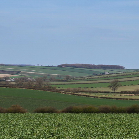
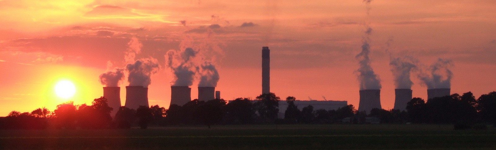
Much of Selby is within the Humberhead Levels, drained by the River Ouse and River Aire and their tributaries, and a network of drainage ditches. The historic, and expanding, town of Selby is the main settlement. In contrast to the low-lying flat landscapes the Magnesian Limestone Ridge to the west of the district (locally the West Selby Ridge) has a rolling landscape of fields and woodlands, much of which has a local landscape designation, although the A1 and limestone quarries are locally intrusive. Whilst much of the district is rural and in productive agricultural use, the River Aire and lower Ouse corridors were characterised by a colliery and large coal-fired power stations which can be seen from long distances. However there is a transition to other forms of generation and significant landscape change is likely to occur in future years.
Documents
A scanned version of Selby's Landscape Character Assessment 1999 can be viewed at http://www.selby.gov.uk/sites/default/files/Documents/Landscape_Assessment_of_Selby_District_Jan_99.pdf
Several regionally significant green infrastructure corridors cross the district. The Leeds City Region Green Infrastructure can be found