North Yorkshire > Hambleton District Council
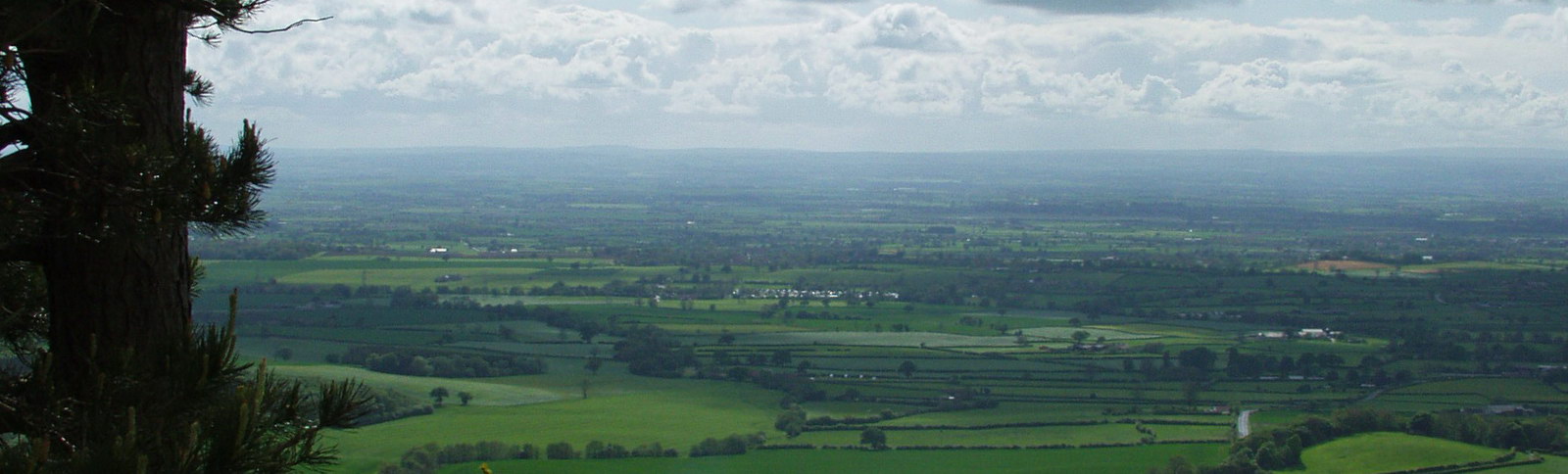
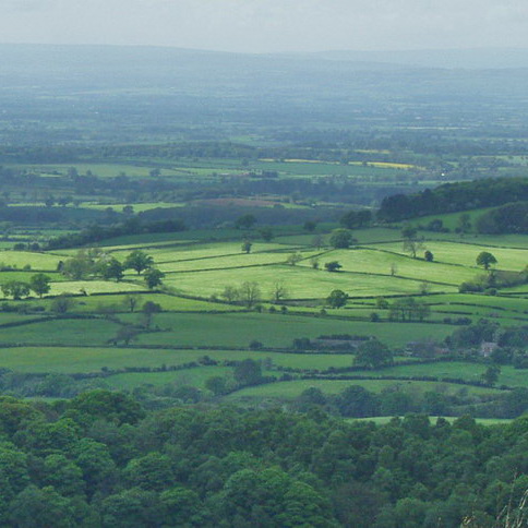
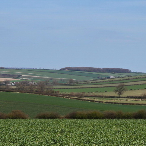
Hambleton District is a predominantly rural landscape comprising open, low-lying farmland, with a dispersed settlement pattern of market towns, villages and farmsteads. The area holds a significant water resource in underlying aquifers, and the rivers and flood plains form a major influence on landscape character. While the District is a key north-south transportation corridor (including sections of the A1, A19 and East Coast Main Line), a sense of tranquillity prevails in many of the rural areas, particularly in association with undeveloped sections of the River Swale, and away from the key service centres of Northallerton and Thirsk. This central area of Hambleton occupies much of the Vales of Mowbray and York, and is fringed by the steep scarp of the Hambleton Hills to the east that form part of the North York Moors National Park, the gentle foothills of the Yorkshire Dales to the west, and the undulating landform of the Howardian Hills Area of Outstanding Natural Beauty (AONB) to the south-east. Part of the City of York Greenbelt is located in the south.
Hambleton has a fully adopted Local Development Framework (2010). A Landscape Character Assessment has been prepared as part of the background evidence to work on the emerging Local Plan. The plan will contain policies on landscape, biodiversity, green infrastructure and will designate areas of local green space. Hambleton does not have a landscape specialist with work falling to the planning policy team or development management.
Documents
The Landscape Character Assessment and Sensitivity Study will be available on this webpage mid-2016. https://www.hambleton.gov.uk/localplan/site/index.php
Landscape / Planning Contact
Clare Booth