North Yorkshire > Richmondshire District Council

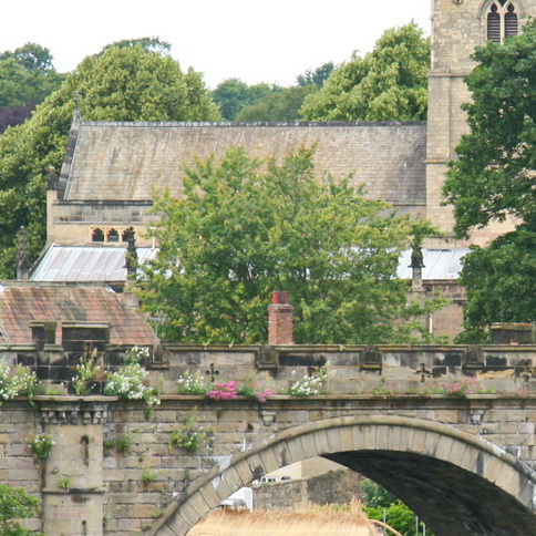
Richmondshire is a District planning authority, dealing with areas outside the Yorkshire Dales National Park. The main settlements are the historic town of Richmond and Leyburn, and the large military settlement of Catterick Garrison which has a character of its own.
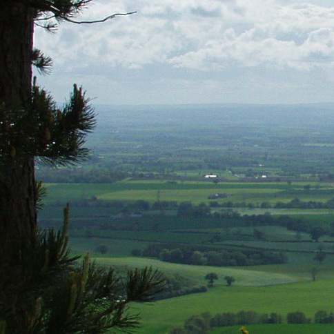
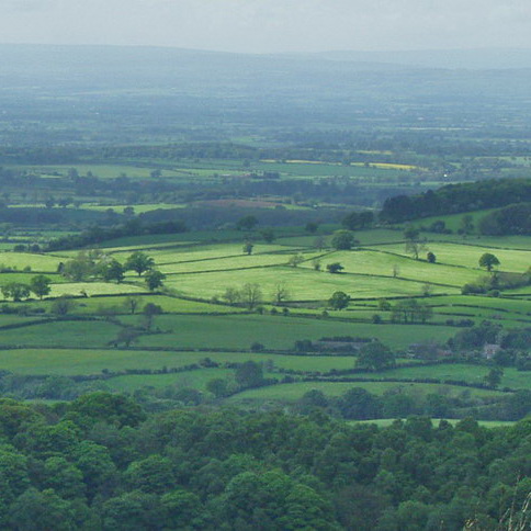
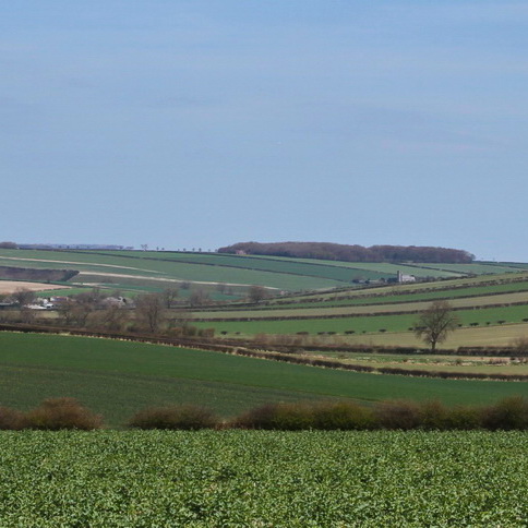
Much of Richmondshire's landscape is of high or very high quality, including the setting of the Yorkshire Dales National Park, and the Pennine fringes and Vale of Mowbray. However Richmondshire has not carried forward previous local landscape designations in its current Local Plan.
The Local Plan 2012 - 2028 Core Strategy was adopted on 9 December 2014.
Richmondshire does not have a landscape specialist so landscape planning matters fall to the Local Plans team.
Documents
There is no Landscape Character Assessment at a district scale but the county scale North Yorkshire & York Landscape Character Assessment and the North Yorkshire and Lower Tees Valley Historic Landscape Characterisation cover the District (see the North Yorkshire County entry). The Yorkshire Dales National Park LCA covers those parts of Richmondshire which lie within the National Park.
Broad National Character Area profiles for the Yorkshire Dales (21), the Pennine Dales Fringe (22), the Tees Lowlands (23) and the Vale of Mowbray (24) are also available for the District.

