West Yorkshire > Kirklees
Kirklees is the third largest metropolitan district in England when measured by area. It covers 157 square miles, 11.2% of which is in the Peak District National Park.
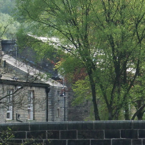
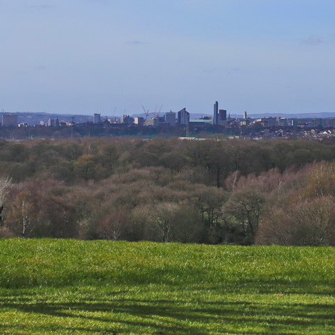
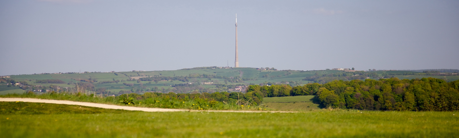
The district comprises a diverse range of landscapes and character including the South Pennine Moors, moorland fringe, steep sided valleys, farmland and industrial heritage areas. The distinctiveness of the natural, built and historic environment is central to the Council’s emerging Local Plan. The plan seeks to maintain and enhance these diverse places and deliver sustainable development that balances social, economic and environmental priorities.
Kirklees has a dedicated team of Landscape Architects with over 30 years collective experience providing a comprehensive range of landscape design and advice services. They work alongside Planning Policy helping to shape the Local Plan, and with professionals across a range of other council departments to help design, create and improve public spaces. High quality green infrastructure is central to the way in which we plan and shape places and developments and the corridors that connect them.
Documents
The Landscape Capacity Study for Wind Energy in the South Pennines provides an overview of all the landscape character types within Kirklees, and advice on landscape sensitivity to and capacity for larger scale commercial wind energy – see https://www.kirklees.gov.uk/beta/planning-policy/pdf/supportingDocuments/climateChange/South-Pennines-Wind-Energy-Landscape.pdf
Landscape Guidance for Wind Turbines up to 60m high in the South and West Pennines (2012)
Kirklees hosts the White Rose Forest.
Landscape / Planning Contact
Emma Mills Andrew Muddiman Landscape.streetscene@kirklees.gov.uk